Suggested Trail Routes
Trailpoints cover the South Downs area from Eastbourne to the River Arun
You can request your own TRAILPOINTS, ask for recommendations or why not try one of the below suggestions
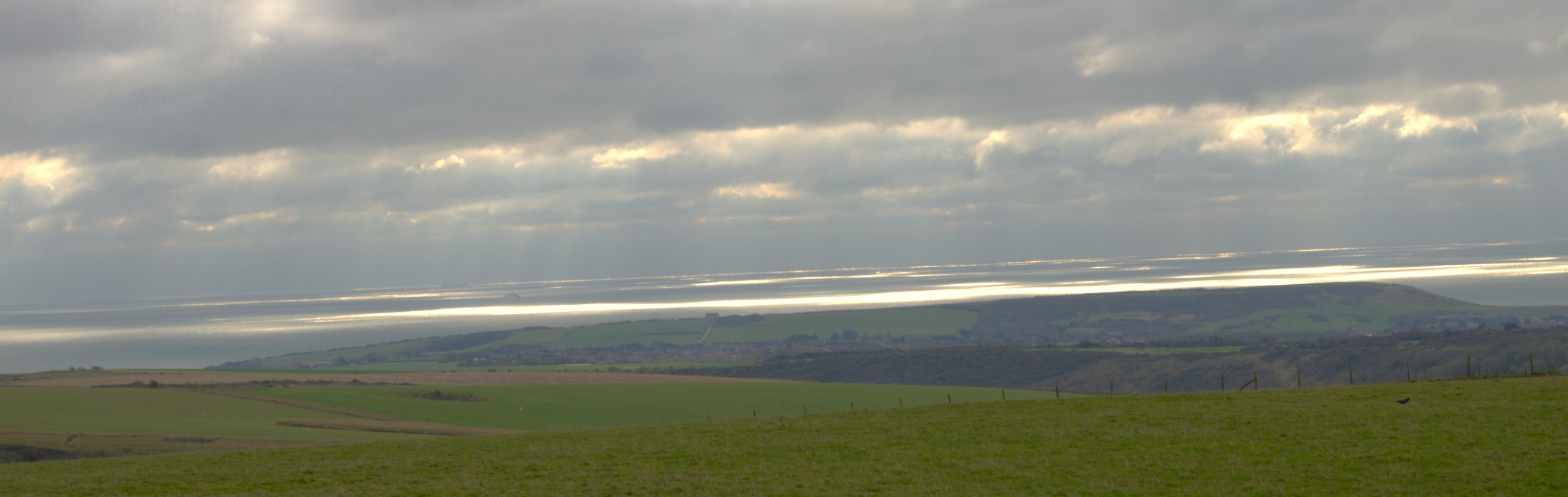
BEACHY HEAD TO SEAFORD - 17.5km
Coastal walk taking in the Seven Sisters cliffs, Birling Gap and Cuckmere Haven.
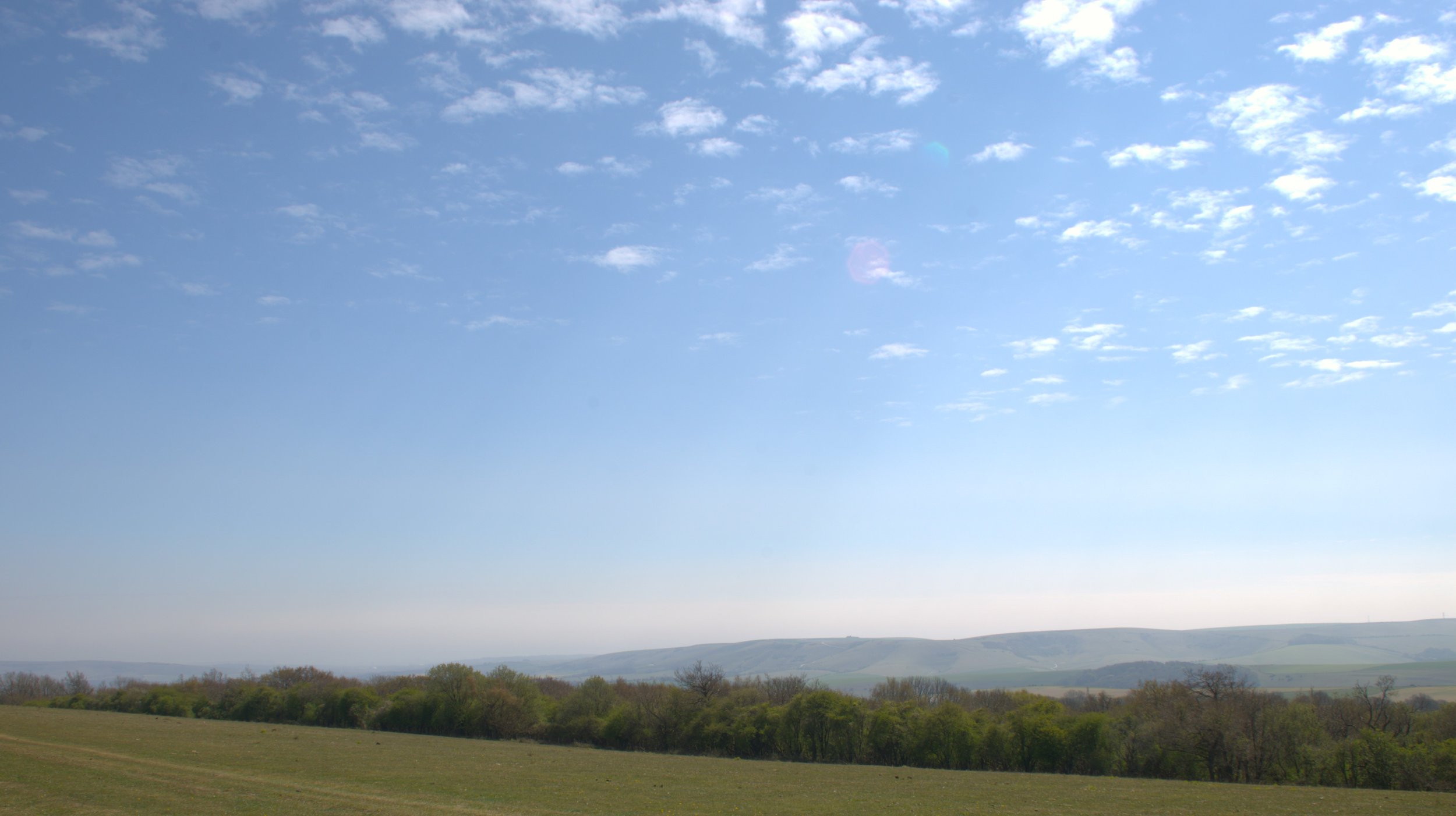
EASTBOURNE TO ALFRISTON - 12km
Starting at the seaside town, climb up into the South Downs past Jevington along the South Downs Way
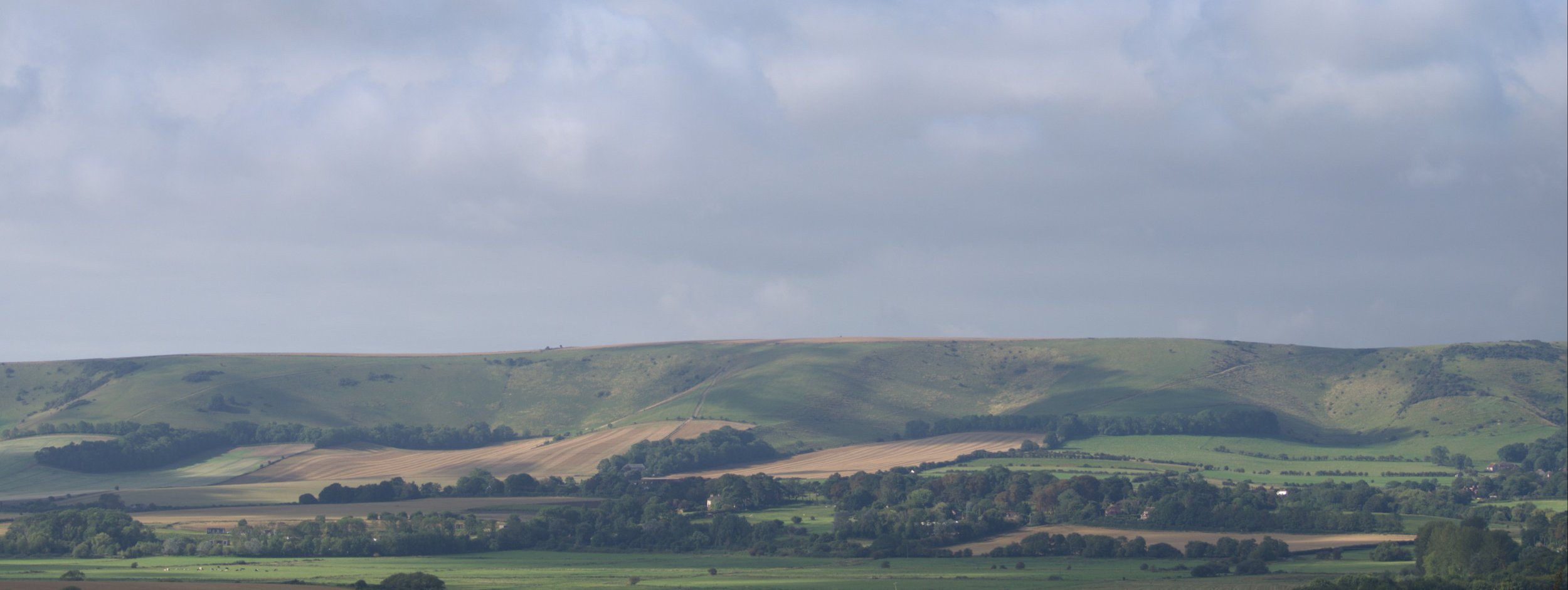
FIRLE BEACON TO DITCHLING BEACON - 25km
Take in the views from Firle Beacon, continue on through Southease and past Black Cap before arriving at Ditchling Beacon for more views across Sussex

Please ask about any routes
I have information on car parking for all suggested routes and many more, including Postcodes, What 3 Words locations and grid references. I am in the process of putting together the charges for car parks where applicable, some are free and some are national trust. If you are unsure just ask.